South Dorset Ridgeway
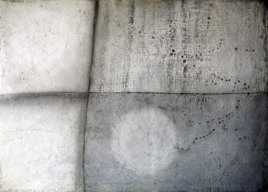
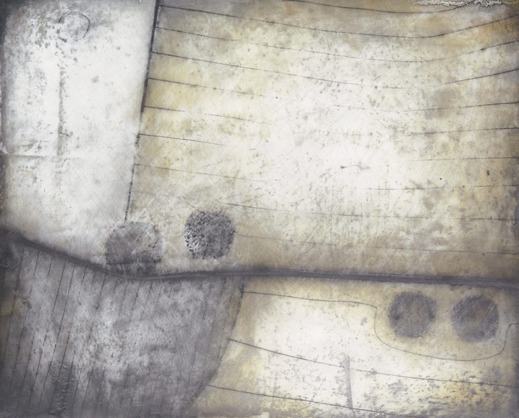
Mapping the Ridgeway 1: Oil, graphite and plaster on board,11 x 16cm, 2013
The South Dorset Ridgeway is the focus for much of my work – from the rocks that inform the landscape to the numerous prehistoric sites that populate this area.
Maps & Field Guide
Lost Sites
Chart of Invisibility
Lighting Up the Ridgeway
Mapping the Ridgeway
COMMISSION
Maps and Field Guide commissioned by Dorset AONB as part of the South Dorset Ridgeway Landscape Partnership project. Published 2018
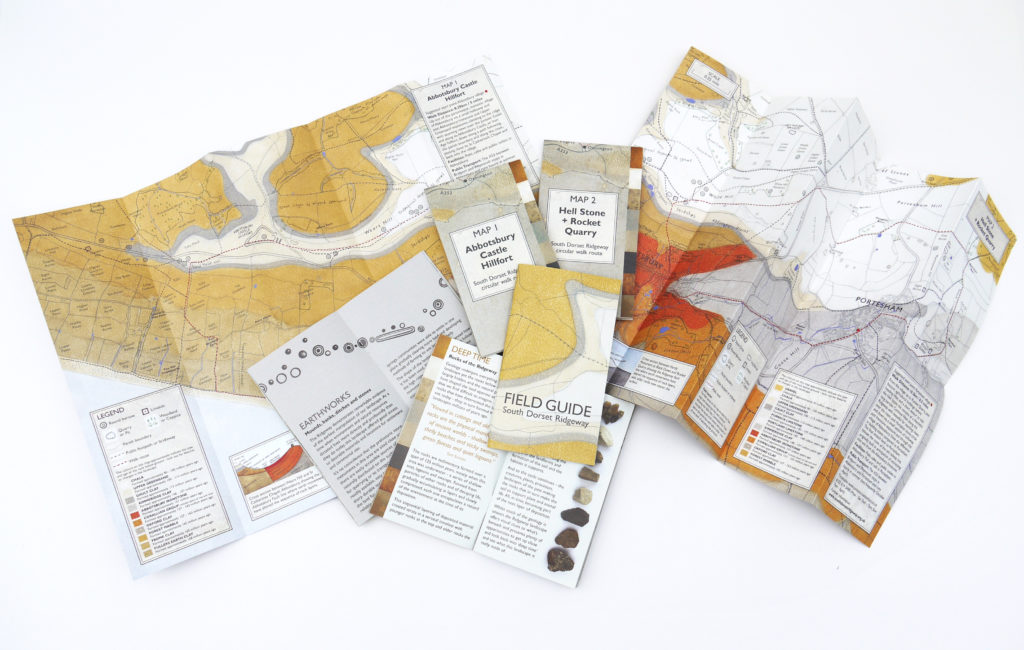
The brief was to create ‘interpretation’ for a series of walks as part of the South Dorset Ridgeway Landscape Partnership Project. The walk routes had been devised to encourage people to explore the Ridgeway landscape. This is an extraordinary area of Dorset with a diversity of habitats, and rivals the Stonehenge area for the number, and range of prehistoric sites.
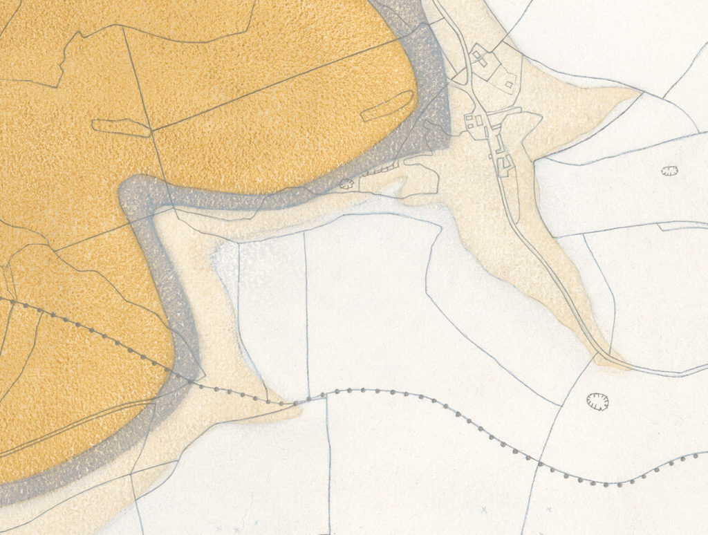
My approach was to produce a series of maps – this might appear obvious but these were maps with a difference – maps that not only aided navigation but told stories of the prehistoric past and geological ‘deep time’. I wanted to convey what was below the ground and the impact that the rocks have in determining our landscape – highlighting how the unseen geology beneath our feet dictates or influences the landscape we see today.
As with all my work, it is as much about what is left out as to what is included. By eliminating certain information other information comes to the fore. The Maps show the geology, prehistoric sites, field boundaries and field names. They are annotated with snippets of interesting facts, such as where you can see an ironstone exposure, a limestone drystone wall, ancient boundary or the best place to see butterflies. An accompanying Field Guide gives an introduction to this remarkable landscape and highlights some of the things to look out for.
The 6 maps covering an area between Abbotsbury Hillfort and The White Horse at Osmington and acompanying Field Guide are available from Dorset AONB.
Lost Sites
The following works reference the many ‘lost’ archaeological sites revealed through the recent National Mapping Programme survey of the South Dorset Ridgeway. This area of high ground in West Dorset is one of the richest archaeological sites in Britain. Alongside the very visible and sculptural humps and bumps of Bronze Age burial mounds are faint traces of many many more undiscovered structures long ploughed away. Invisible from the ground these remains only become apparent when viewed from the air when the sites are revealed as faint marks or changes in colour of soil or vegetation. The work in this series maps those unseen clues to past lives.
COMMISSION
Field Days – commissioned by Artsreach 2015
Lighting Up the Ridgeway and The Chart of Invisibility
Lighting Up the Ridgeway along with its companion work The Chart of Invisibility were commissioned for a project aimed at increasing public understanding of the South Dorset Ridgeway – an archaeologically significant area of Dorset. Both the works focus on the numerous barrows or tumuli that populate this landscape and the contrast between those visible today and the number that once existed. The works were originally shown in Field Days – a touring exhibition curated by Artsreach as part of a South Dorset Ridgeway Partnership project funded by the Heritage Lottery.
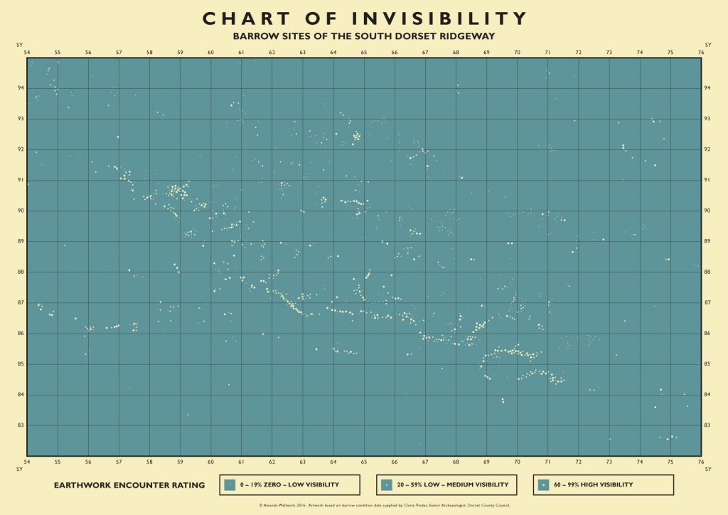
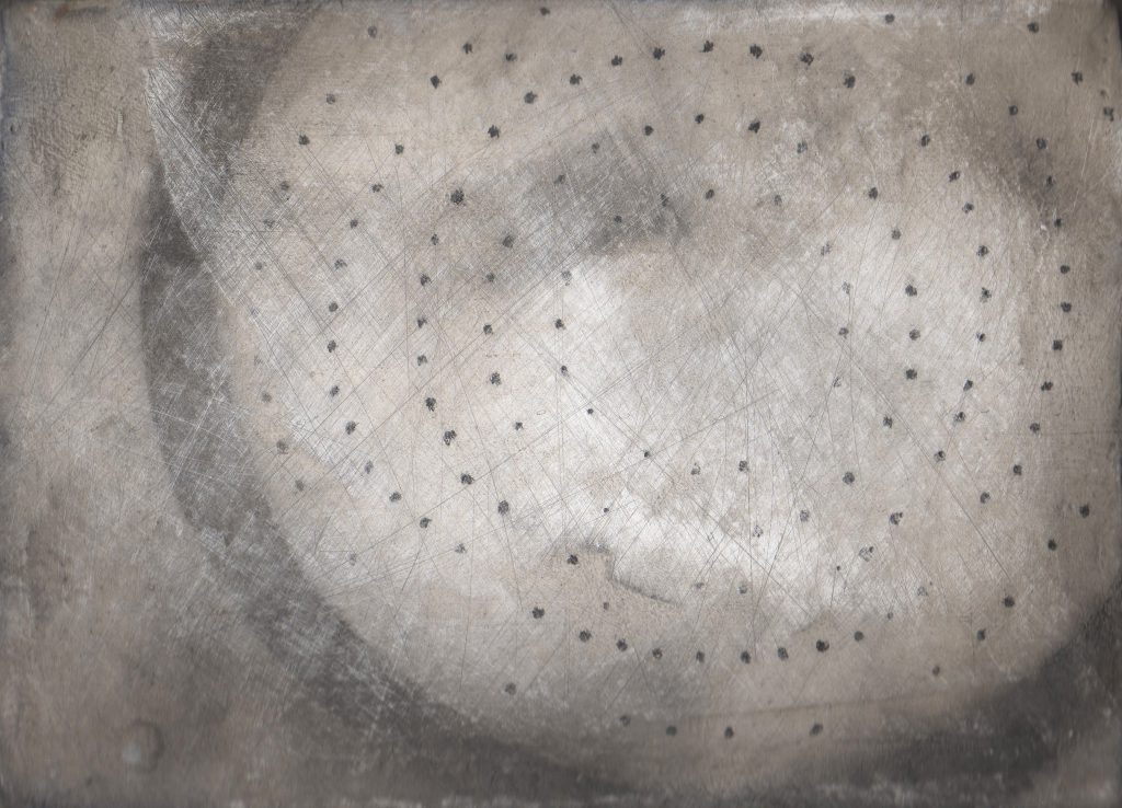
The Chart of Invisibility – graphic poster
Inspired by an archive 1940’s copy of “Phillip’s Chart of the Stars” The Chart of Invisibility uses archaeological data on the distribution and current condition of round barrows and re-imagines it as a constellation map. The map charts the position of all known barrows across the whole South Dorset Ridgeway area. The varying size of the dots or ‘earthwork encounter rating’ indicates whether a barrow is in good condition and therefore visible; damaged and partially visible or completely destroyed with no visible trace remaining. Eliminating all other mapping detail brings the focus purely on the pattern of distribution and relationship to landscape – the ridge of higher ground showing clearly in the alignments.
Posters are available to order at various sizes, contact me for details.
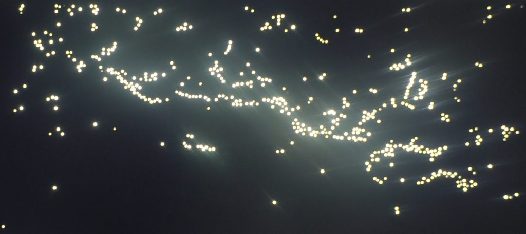
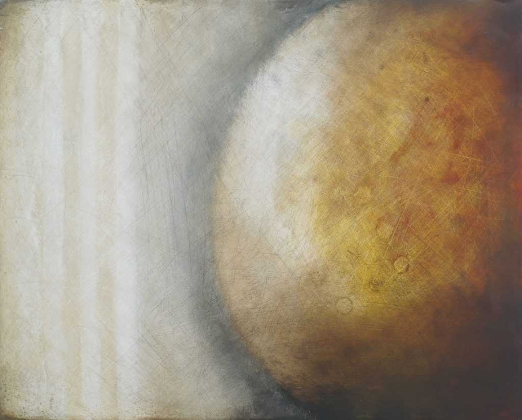
Lighting Up the Ridgeway – illuminated panel
The panel takes a section of the South Dorset Ridgeway area running along the ridge between Abbotsbury and Poxwell. For the most part a modern footpath (the inland coast path) follows the course of this ancient trackway, once an important navigation route. The lights plot the location of all the known barrow sites of the South Dorset Ridgeway area – including those where no visible trace now remains. By pressing the button the viewer is able to switch between lighting up those barrows that survive reasonably intact and visible today and revealing the sites of those that are more difficult to detect or completely destroyed. The pattern of barrow distribution clearly shows the higher ground of the ridgeway.
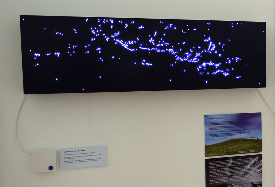
The artworks are based on data kindly provided by Claire Pinder, Senior Archaeologist, Dorset County Council.
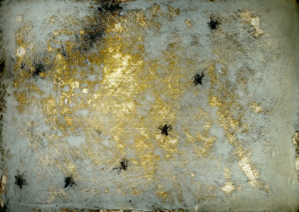
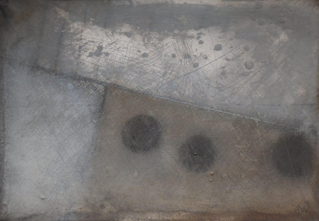
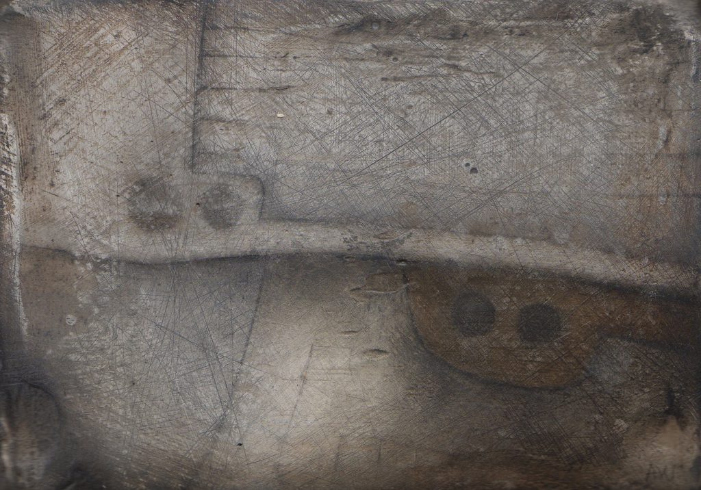
Mapping The Ridgeway
An on-going series of paintings of lost barrows and other traces of prehistoric lives – based on sites across the South Dorset Ridgeway.