
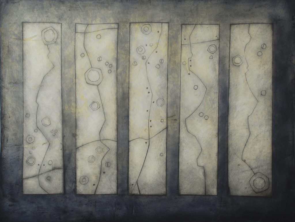
Maps
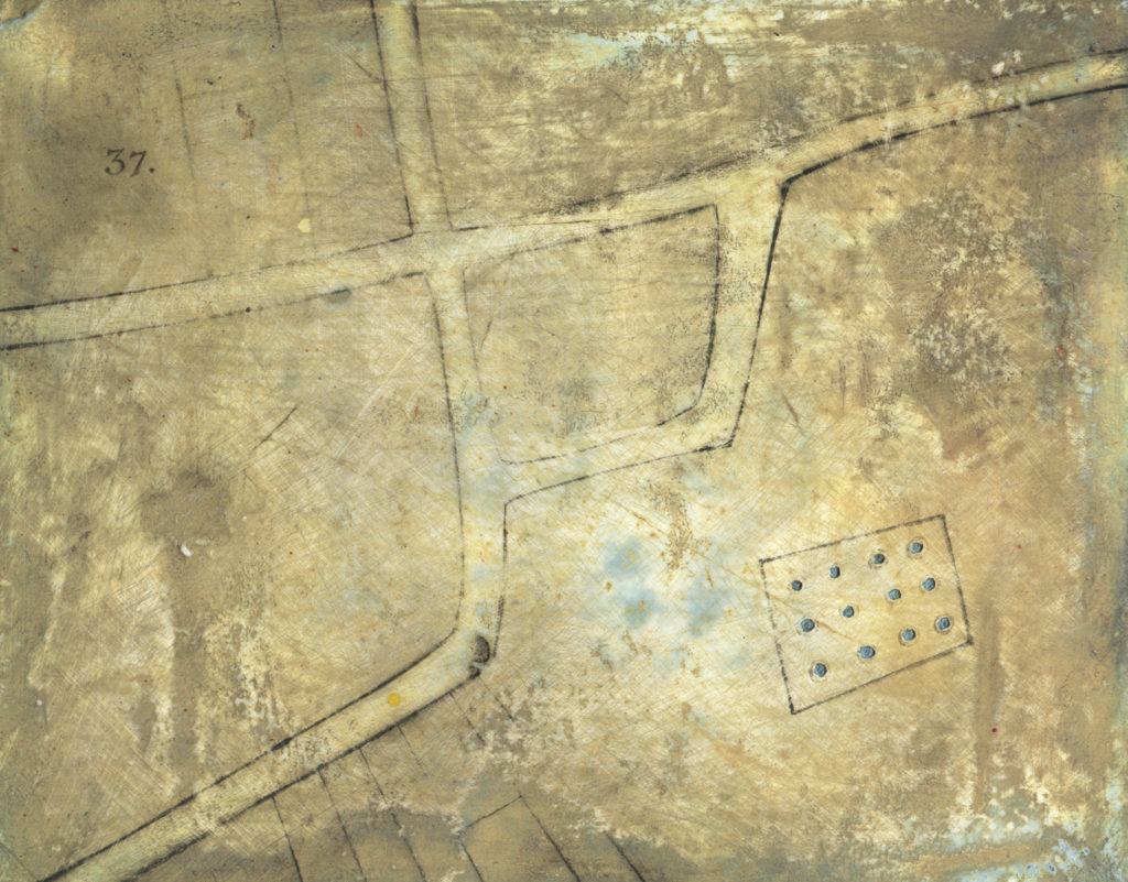
Thirty Seven: Based on an old street map of Sherborne, Dorset Oil, graphite and plaster on board.
Maps and Mapping
Much of my work references or utilises maps – as a graphic device but also as a way of conveying stories. Maps are wonderful things, fascinating to look at and to read. Working on the South Dorset Ridgeway map series really intensified my huge respect for Ordnance Survey maps and the way they are able to hold and impart such an enormous amount of information in such a concise and clear way.
Examples of map based works.
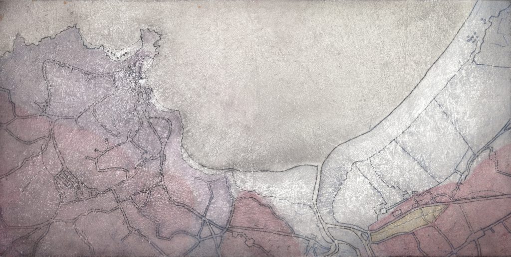
Based on early geological mapping of St Ives, Cornwall – the colours relate to the geological colour coding system at the time.
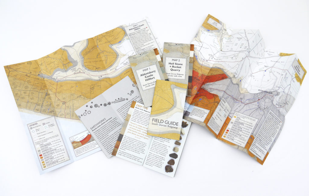
Series of 6 Maps and Field Guide produced for the South Dorset Ridgeway project. 2018.
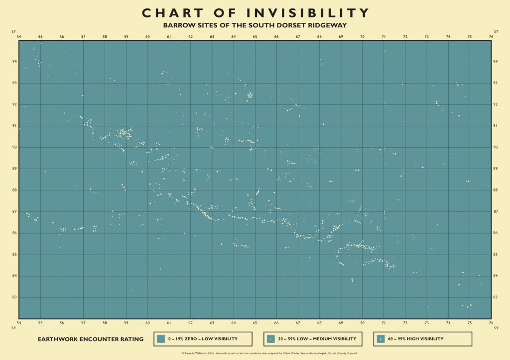
Re-interpreting archaeological data on barrow location and condition in the form and style of a 1940s constellation map – a commission for the Field Days exhibition as part of the South Dorset Ridgeway Landscape Partnership Project.
Based on the linear concept of route mapping and the antique route maps made by John Ogilby in the 1600s.
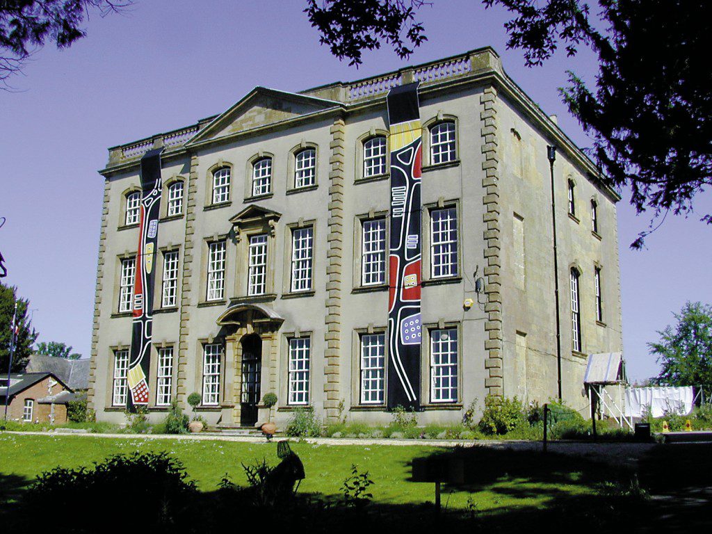
Large scale banners based on old street maps of Sherborne, installed on exterior of Sherborne House for exhibition in 2002.